{:es}
Distancia desde Isla Valdecañas: 78 kilómetros Tiempo total para visitarlo: Media jornada.
Remontando el curso del río Jerte nos adentramos en el valle Cereza, uno de los parajes más característicos del norte extremeño y sin duda, con mayor personalidad.
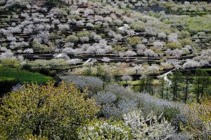
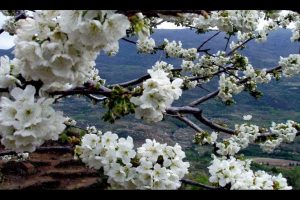
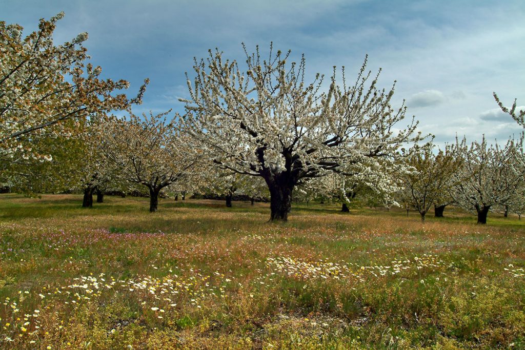
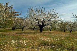
Entre montañas iremos conociendo las tradiciones y paisajes de esta bella comarca, que sorprende por su vegetación, la abundancia de agua y su acervo agrícola, que la ha convertido en un referente internacional con su producto estrella, la cereza picota.
Comenzaremos en esta ocasión por Plasencia, ciudad monumental conocida como la capital del Jerte, cuya importancia histórica pone de manifiesto su notable patrimonio. En la oficina de turismo de Santa Clara, junto a la catedral, nos proponen diferentes alternativas para conocer la ciudad: la ruta de las Murallas, la de los Escudos, los Conventos…
La Isla es otra de la peculiaridades placentinas una zona verde rodeada por las aguas del Jerte que puede inaugurar nuestra ruta por este maravilloso río.
Nos adentramos en el valle por la N-110 hasta apartarnos hacia la localidad de Casas del Castañar, donde veremos las primeras muestras de la típica arquitectura popular jerteña. Seguiremos ascendiendo, pasando por Cabrero, hasta llegar a Piornal, la localidad extremeña situada a mayor altitud (1.175 m.) conocida por sus extensos cultivos de cerezos y, claro está, por Jarramplas.
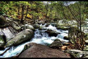
Descenderemos ahora hasta Valdastillas, parando unos 2 km. antes para visitar la espectacular cascada del Caozo en la garganta Bonal, a la que accederemos por una pista asfaltada a nuestra derecha. Ya en el pueblo podremos contemplar buenos ejemplos de arquitectura entramada, que seguiremos apreciando valle arriba en la siguiente parada: Navaconcejo, donde pasearemos por la calle Real, antigua arteria local rematada con un bello crucero.
Nuestra ruta continúa en Cabezuela del Valle, localidad declarada Conjunto Histórico, cuyas calles angostas muestran una arquitectura popular de entramado de madera de castaño, roble y adobe. Precisamente en una casa representativa de este estilo constructivo se ubica el museo de la Cereza, visita obligada si queremos comprender la relevancia de este cultivo a lo largo y ancho del valle.
El pueblo de Jerte es nuestro próximo destino, si bien antes es recomendable disfrutar de la reserva natural de la Garganta de los Infiernos, en cuyo centro de interpretación nos darán puntual información sobre la forma de visitarla. En cuanto a la localidad, presenta el tipismo de la arquitectura popular entramada, sobre todo en el barrio de los Bueyes, la calle Coronel Golfín y la plaza de la Independencia y sus alrededores.
Finalmente, llegamos a Tornavacas, última parada de nuestra ruta. La localidad tiene una fuerte tradición ganadera vinculada a la trashumancia, pues desde las colindantes tierras castellanas de Ávila, su puerto es paso obligado.
Merece la pena, por cierto, seguir ascendiendo hasta sus 1.274 m., pues ofrece una vista inmejorable de la totalidad del valle enmarcado entre las sierras de Tormantos y Béjar.
Distance from Isla Valdecañas: 78 kilometres Total visit time: Half a day.
Following the flow of the Jerte River, we enter the Cereza valley, one of the most characteristic spots of northern Extremadura and without a doubt, the one with the greatest character.
In the mountains we discover traditions and landscapes of this lovely region, surprising us with its vegetation, abundance of water and agricultural heritage, making it an international reference point thanks to its star product: the sweet cherry.
For now we will begin at Plasencia, the monumental city known as the capital of Jerte, whose historical importance reveals its notable patrimony. In the Santa Clara tourism office, next to the cathedral, different alternatives are presented for visiting the city: the “walls”, “shields” or “Convents” routes…
La Isla is another of the peculiar features of Plasencia– a green area surrounded by waters of the Jerte that can inaugurate our route down this amazing river.
We enter the valley via the N-110, then heading towards Casas del Castañar, where we shall find the first examples of the architecture typical of the Jerte region. We continue rising, passing by Cabrero, until reaching
Piornal, the highest Extremaduran town (1,175 m) known for its extensive cherry crops and of course, for the Jarramplas festival.
Heading down towards Valdastillas, we make a stop some 2 km before arriving, in order to visit the spectacular Caozo cascade in the Bonal gorge, which we access via the asphalted track to our right. Once in the town we see some great examples of Extremaduran architecture, which we shall continue to appreciate at our next stop: Navaconcejo, where we cross the calle Real, the ancient roadway crowned with a lovely transept.
Our route continues through Cabezuela del Valle, the township declared historical landmark, whose narrow streets reveal the typical Extremaduran architecture made of chestnut, oak and adobe. The Cherry Museum is found in a house that is particularly representative of this constructive style, a necessary visit for anyone wishing to learn about the relevance of this crop in the valley.
The town of Jerte is our next destination, although it is first recommended to enjoy the national reserve of the Garganta de los Infiernos, with an information centre to assist with your visit. As for Jerte, it offers typical Extremaduran architecture, particularly in the Bueyes neighbourhood, the Coronel Golfín Street and the Plaza de la Independencia and its surroundings.
Finally we reach Tornavacas, the last stop along our route. This site has a strong herding tradition, since its mountain pass must be crossed from the adjacent Castilian lands of Ávila.
The descent down its 1,274 m slope is recommended, providing an unbeatable view of the valley framed between the Tormantos and Béjar mountains.
